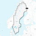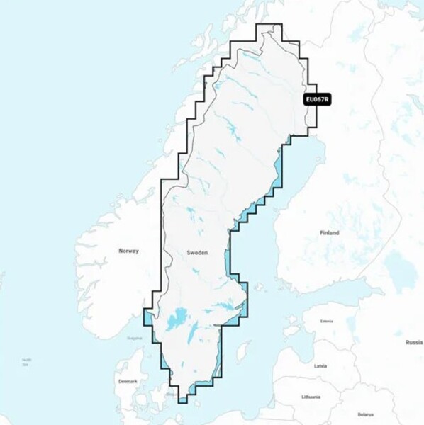


Garmin Sweden & Lakes and Rivers (Inland Water Charts)
- Supplied on microSD™/SD™ card
- Not compatible with Garmin chartplotters
- Water charts specifically for inland waters
- Integrated content of coastal and inland waters
- Dock-to-dock route guidance technology for automatic routes
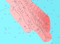
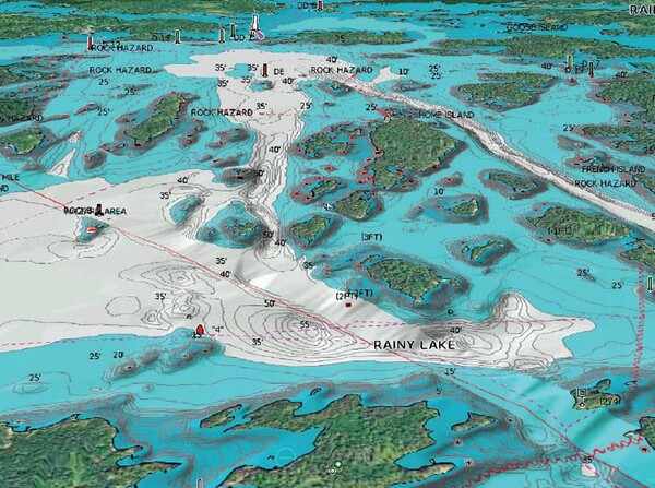
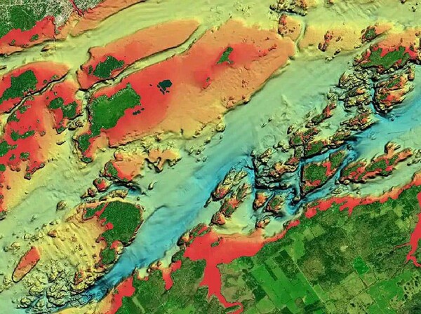
- Detailed bottom contours accurate to 0.5 meters
- Advanced chart options to mark shallow areas or fishing spots
- Access to local knowledge via Community Edits and the Navionics Boating app
- Create real-time maps while sailing with SonarChart™ Live
- Wireless plotter synchronization for transferring routes and markers
- Includes 1-year subscription to daily updates via installation software
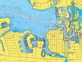
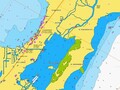
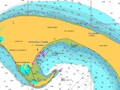
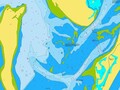
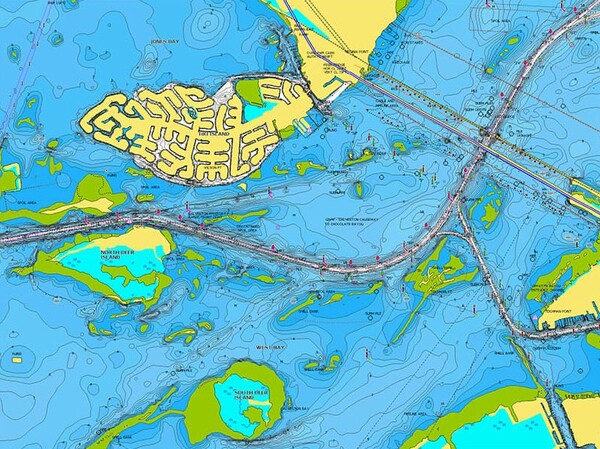
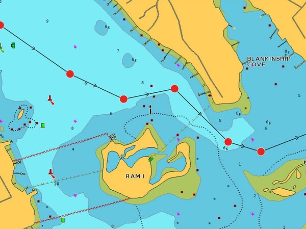
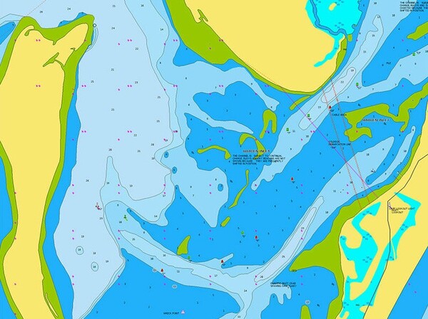
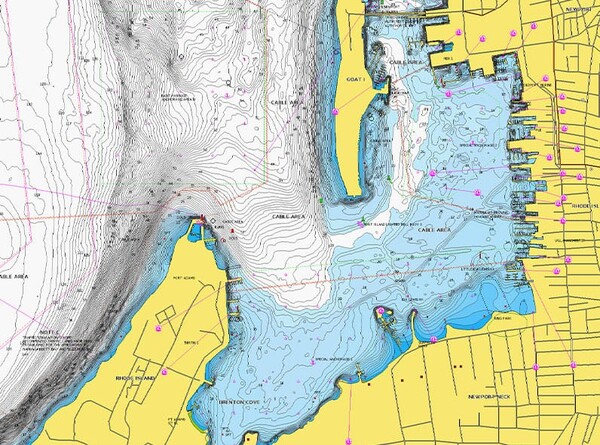
The Garmin Sweden & Lakes and Rivers water chart is the perfect guide for any angler who wants to successfully explore Sweden’s inland waters. Supplied on a microSD™/SD™ card, this chart displays bottom structures in razor-sharp detail with contours accurate to 0.5 m, allowing you to quickly locate fish-rich hotspots. Thanks to advanced features such as dock-to-dock route guidance for automatic routes and SonarChart™ Live to create your own real-time maps, you always navigate safely and efficiently. With the ability to mark shallow areas, wireless plotter synchronization, and access to local knowledge via the Navionics Boating app, you get the most out of your fishing trip. Please note: this chart is not compatible with Garmin chartplotters.


Fishdeal uses cookies on the website. We do this to help you better and more personally. Want to know more? Read our privacy policy.
Accept cookies